RS , GIS Department-Projects
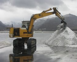
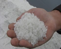
One of the most important projects of GIS & RS Department was feasibility study of Urmia Lake industrial exploitation and site selection of salt extraction. The client was Geological Survey and Mineral Exploration of Iran. The project carried out in 2014. Site selection analyzed for six spatial variants including Rahmani Port, Agh Gonbad, Kalantari Bridge, Kazem Dadashi, Sharifkhaneh and Chi-Chest. These alternatives investigated by using GIS and RS. The whole study carried out under the supervisor of Sharif University of Technology Research Center.
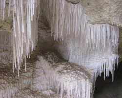
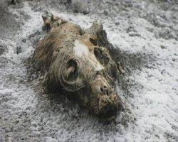
The goal of this project is primarily to reduce the percentage of salts in the lake, prevent water loss in the study area, protecting the adjacent aquifers from the increased penetration of salty water into them, and prevent the formation of salty dust haze the future. Finally, the main goal was to save the Urmia Lake. The salt concentration in Urmia Lake now reached about 500 g/l, which means half of the lake’s water is dissolved salt. In order to reach the proper salinity of the lake, which is 250 g/l, the equivalent volume of water in the lake should add to it immediately and momentary. If a large amount of salts extracts from lake so that salinity decreases to 100 g/l, then entry of fresh water causes dissolution of bottom salts, the lake will deepen, which will make it easier to save the Urmia Lake.
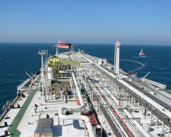
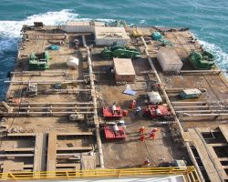
The Iranian Offshore Oil Company has six operating area in the Persian Gulf, including Siri, Lavan, Kharg, Bahran, Kish and Qeshm. In all these operational areas, the processes of oil & gas extraction resources occur in the offshore environment.
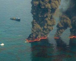
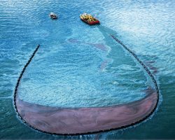
Oil leakage and spills in these processes, which are the main causes of pollution in marine environments especially in the Persian Gulf region, are potentially probable.
Based on national and international law and regulation, the control and management of oil spills is necessary. In this regard, the Iranian Offshore Oil Company (IOOC) has developed management methods in form of a project named “Compilation of environmental management plan through create and implement of comprehensive web-based software based on RS technology for marine leakage monitoring in IOOC operation areas”.
The project delegated to GIS & RS department of PEN. The goal of this project was to provide software for automatic identification and detection of oil leakage or spill in the Persian Gulf region. For this aim, satellite imagery and its algorithms has been use for locating the oil spills by environmental observer. Developing this software based on geo-based positioning capabilities has considered as a unique experience in environmental management method.
